
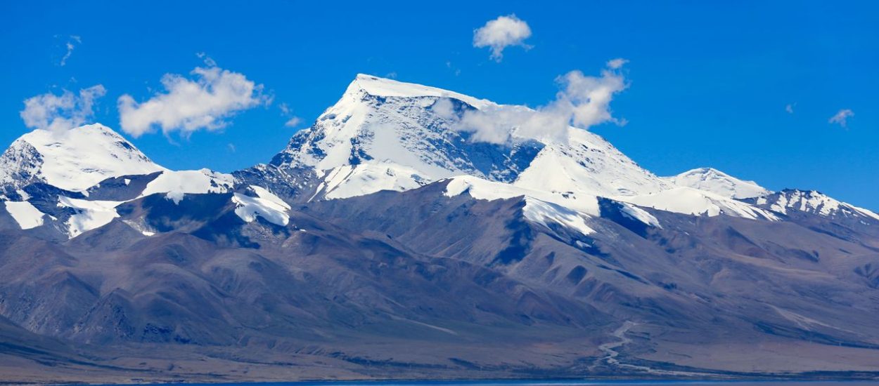
This 12-day version of the Simikot-Hilsa helicopter route builds in a planned overnight buffer at Simikot (Day 3) before the weather-sensitive helicopter crossing to Hilsa, and separates the final trek-out from the long return drive (Day 10), rather than combining both into a single exhausting day. Altitude figures are approximate and vary slightly by source and exact route taken.
| Day | Route | Altitude | Transport |
| 1 | Arrival in Kathmandu | 1,400 m | Airport pickup, hotel transfer |
| 2 | Fly Kathmandu to Nepalgunj | 150 m | Domestic flight (~1 hr) |
| 3 | Fly Nepalgunj to Simikot (overnight, weather buffer) | 2,960 m | Domestic flight (~45 min) |
| 4 | Helicopter Simikot to Hilsa; cross border to Purang | 3,650 m to 3,900-4,025 m | Helicopter (~20-25 min) + drive (~45 min-1 hr) |
| 5 | Acclimatization day in Purang | 3,900-4,025 m | None scheduled |
| 6 | Drive Purang to Lake Mansarovar | 4,550-4,590 m | Drive (~3-4 hrs) |
| 7 | Drive Mansarovar to Darchen | 4,560 m | Drive (~1.5-2 hrs) |
| 8 | Parikrama Day 1: Darchen to Dirapuk | 4,560 m to 4,900 m | Trek (~18-20 km, 6-7 hrs) |
| 9 | Parikrama Day 2: Dirapuk to Zuthulpuk via Dolma La Pass | 4,900 m to 5,636 m to 4,790 m | Trek (~18-22 km, 8-10 hrs) |
| 10 | Parikrama Day 3: Zuthulpuk to Darchen; drive to Purang | 4,790 m to 4,560 m, then drive | Trek (~8 km, 2-3 hrs) + drive (~3-4 hrs) |
| 11 | Purang to Hilsa to Simikot to Nepalgunj | Descending to 150 m | Drive + helicopter + domestic flight |
| 12 | Fly Nepalgunj to Kathmandu | 1,400 m | Domestic flight (~1 hr) |
Arrive in Kathmandu and transfer to your hotel. The rest of the day is free for rest, a briefing on permits and documentation, and a final gear check. If time allows, a short visit to Pashupatinath Temple or Boudhanath Stupa is a fitting way to begin the journey.
Morning flight from Kathmandu to Nepalgunj, a lowland city near the Indian border that serves as the staging point for the Humla sector flights. Overnight in Nepalgunj; this is also a natural point to absorb any schedule slack if the Kathmandu-Nepalgunj flight is delayed.
Early morning flight to Simikot, the gateway to Humla district. This sector is the most weather-sensitive leg of the entire route, so the day is deliberately left open after arrival rather than pushing on to Hilsa. Use the time to acclimatize, walk around the village, and rest. If conditions are favourable, some groups may be offered the option to continue to Hilsa the same day, but holding this as a planned overnight removes the pressure to rush.
Short helicopter flight over the Karnali gorge to Hilsa, the last settlement on the Nepal side. Complete Nepal immigration formalities, cross the bridge into Tibet, and complete Chinese border and customs procedures. A waiting vehicle then takes the group on to Purang (Taklakot), the first town on the Tibetan plateau.
A full day at Purang to let the body adjust before climbing further. Short walks around town, a visit to a local monastery, and time in the market to pick up any last-minute gear (trekking poles, gloves, oxygen canisters) are the order of the day. Keep exertion light.
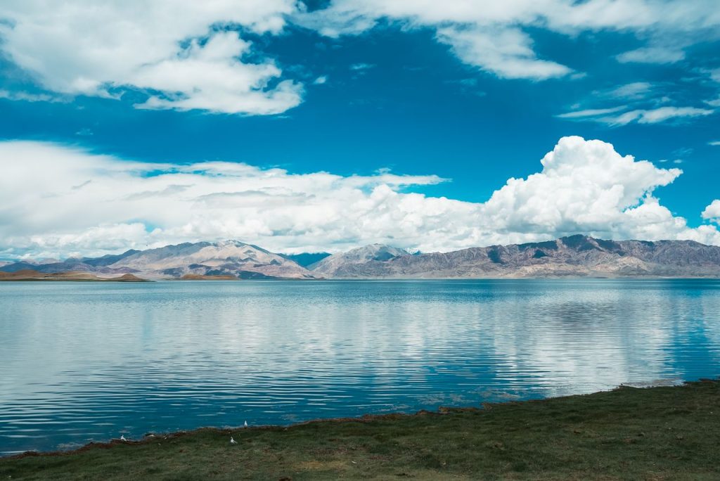
Drive across the Tibetan plateau to the shores of Lake Mansarovar, passing Rakshas Tal (Ravan Lake) along the way. On arrival, perform puja, take a holy dip if desired, and spend the evening at the lake. The first views of Mount Kailash's southern face often appear from this stretch.
A relatively short drive to Darchen, the small settlement that serves as the base for the Kailash Parikrama. The rest of the day is kept free for rest and final preparation, including arranging porters or yaks for the trek if needed.
The Kailash kora begins. Walk from Yama Dwar (the symbolic start gate) along the Lha Chu valley, with the western and northern faces of Kailash visible for much of the route. The day ends at Dirapuk, from where the dramatic north face of the mountain dominates the view.
The most demanding day of the journey. An early start for the climb to Dolma La Pass at 5,636 m, the highest point of the route, followed by a long descent past Gauri Kund to Zuthulpuk. Cold, altitude, and distance all combine here, so a slow and steady pace matters more than speed.
A short, easy final trek down to Chuku/Darchen completes the circuit by late morning. After regrouping in Darchen, the group drives back to Purang, where a proper bed and hot meal mark the end of the physically demanding part of the journey.
Drive from Purang to the border, complete exit formalities from Tibet and entry formalities into Nepal at Hilsa, then take the helicopter back to Simikot and connect onward by flight to Nepalgunj. This is a long travel day; build in patience for border processing and possible weather holds.
Final domestic flight back to Kathmandu. Depending on arrival time, the rest of the day is free for rest, shopping, or a farewell dinner before onward international departure.

With 10+ years of expertise in Nepal, Tibet, and Bhutan, Binaya is the right person to help you create a trip you’ll never forget.